
Hello: World! Spain + Portugal 2016

Travel Blog
Portugal and Spain 2016
Hopping on an airplane with other educators and studying the geography of the Iberian Peninsula was an experience I will never forget! I traveled with the Center for Geography in Education through Portland State University where I finished up the graduate credits needed for my masters degree in 2016. I entered into the scholarship for this three-week adventure and educational opportunity and was selected with sixteen other teachers. The only caveat was that upon return we had to write lesson plans for National Geographic for teachers to use – but the entire trip was paid for by the William Gray Foundation. Twist my arm!!!
Accompanying us were two amazing professors of geography who taught us to think through a geographer’s lens and apply core concepts as we traversed the landscape and explored the modern context of how humans interact with it. William Gray’s mother believed in the importance of geographic literacy and it is still a part of their legacy to inspire educators in Oregon to teach geographic literacy to youth.
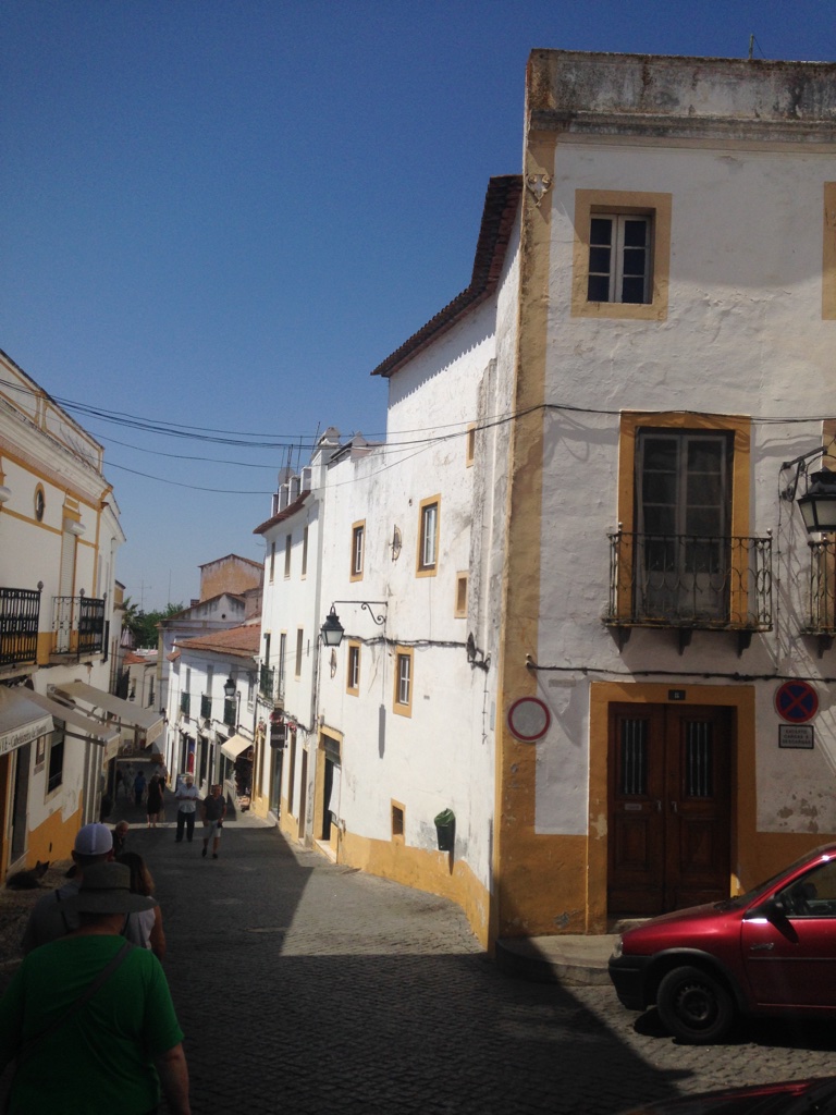
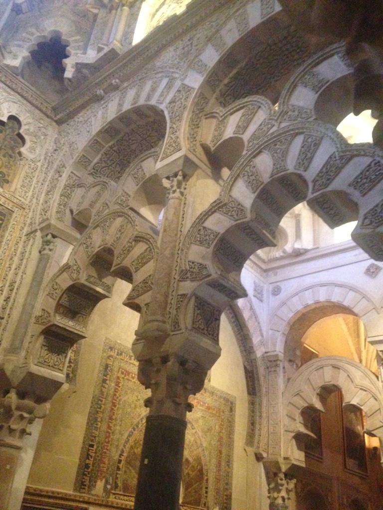
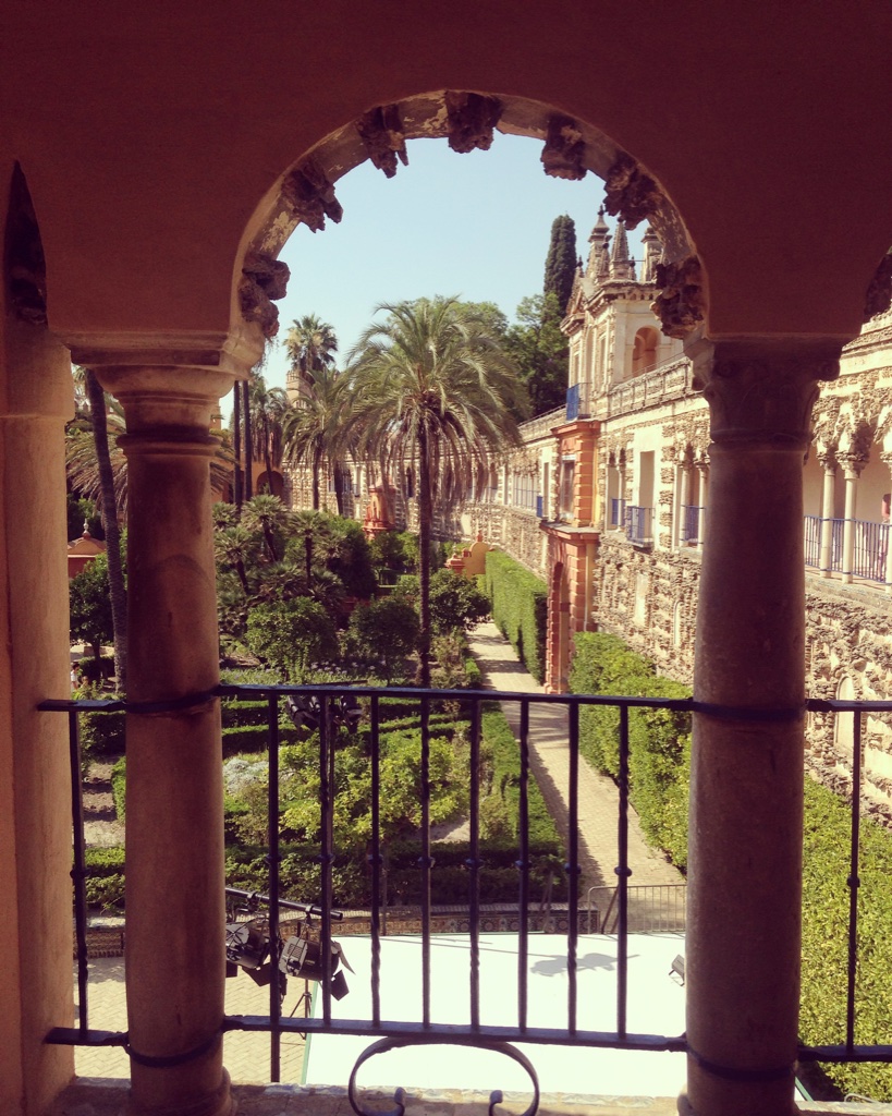
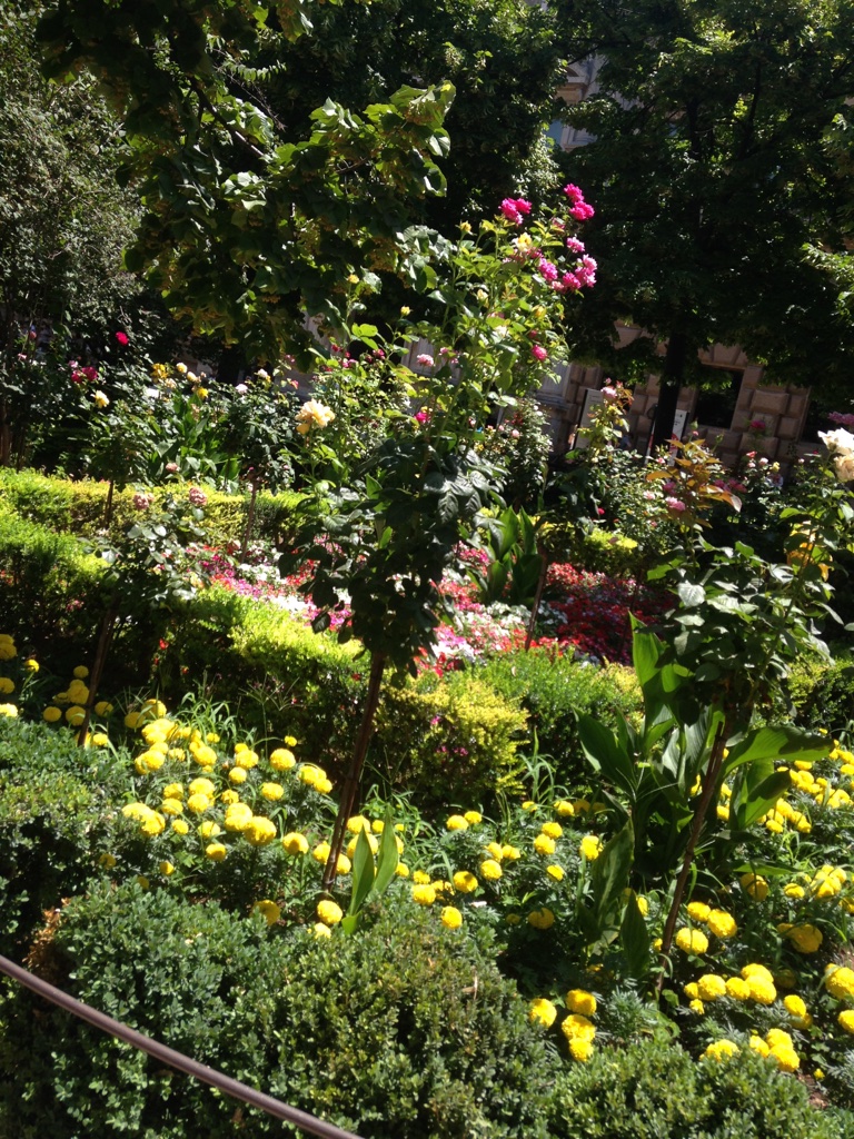
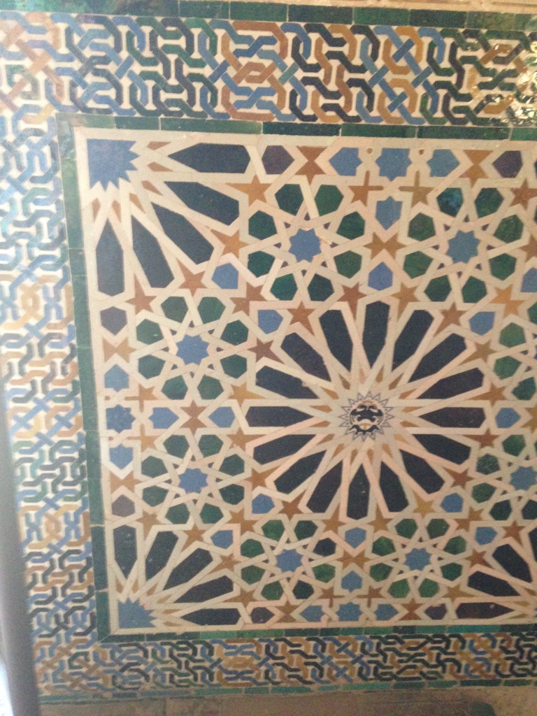
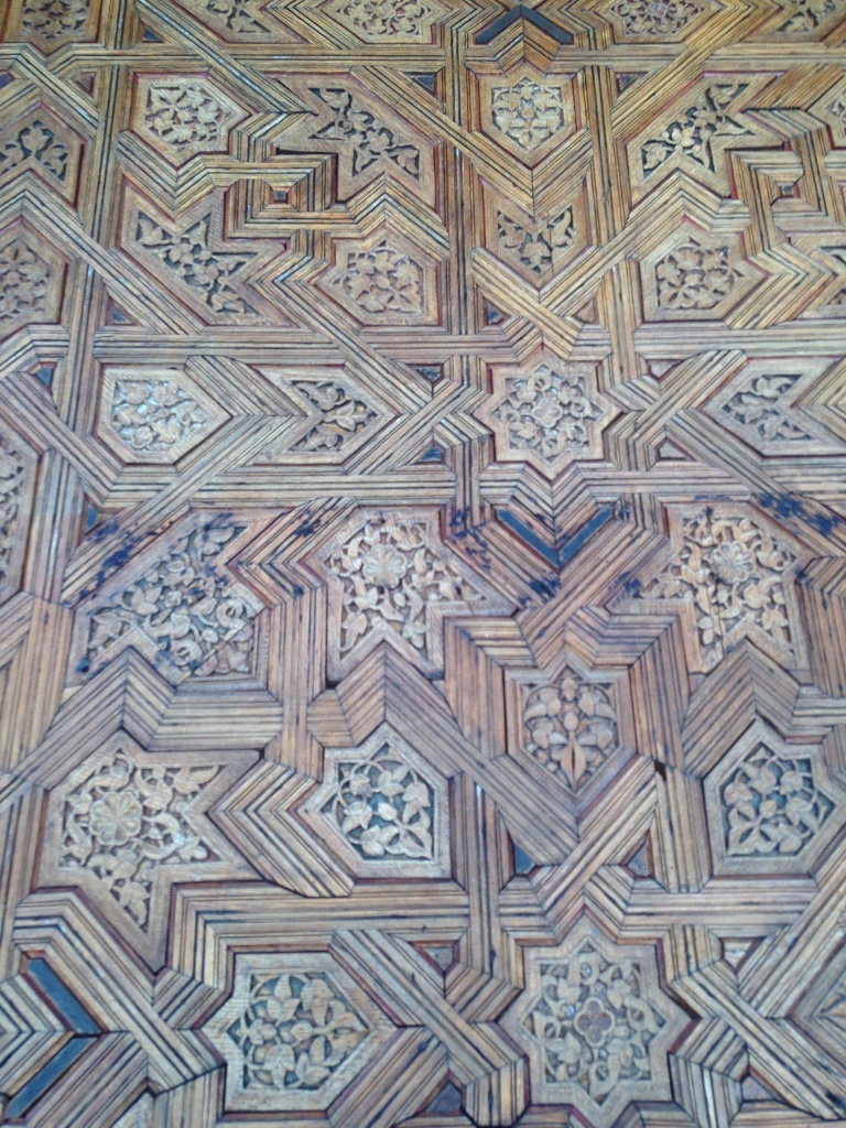
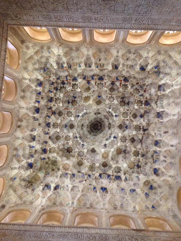
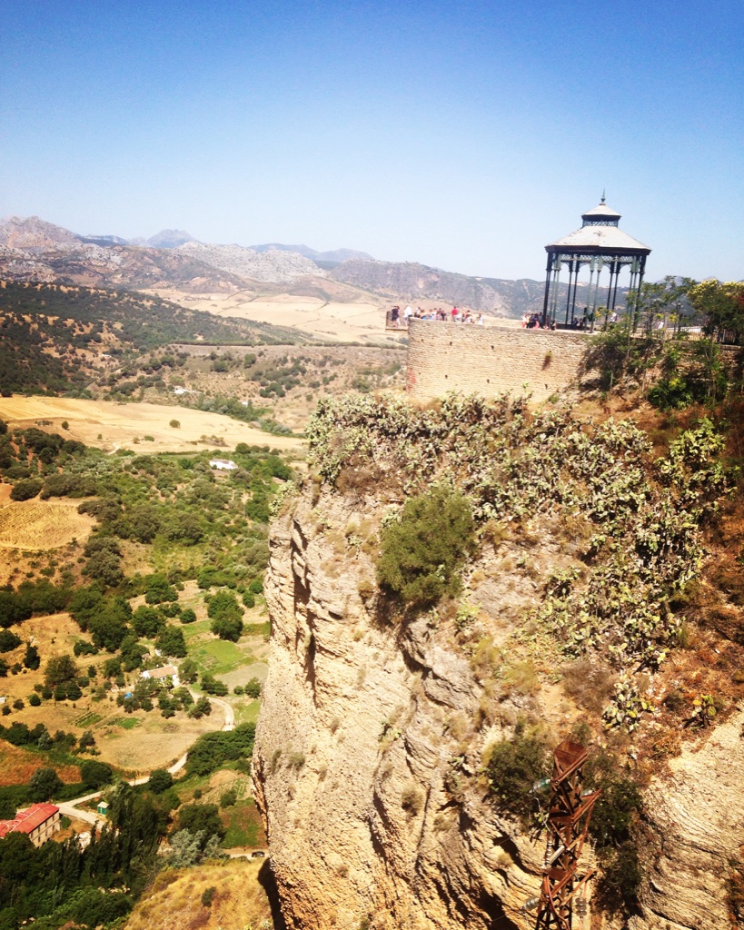
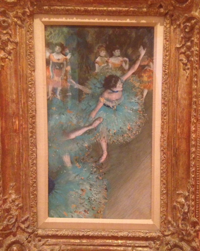
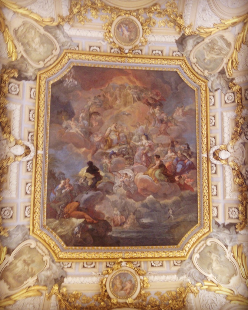
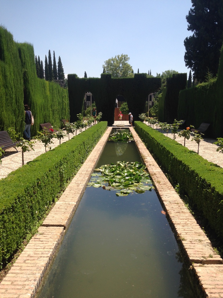
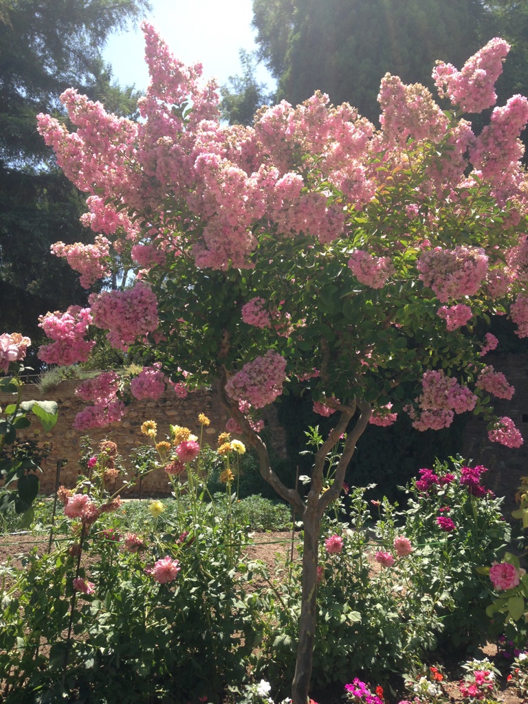
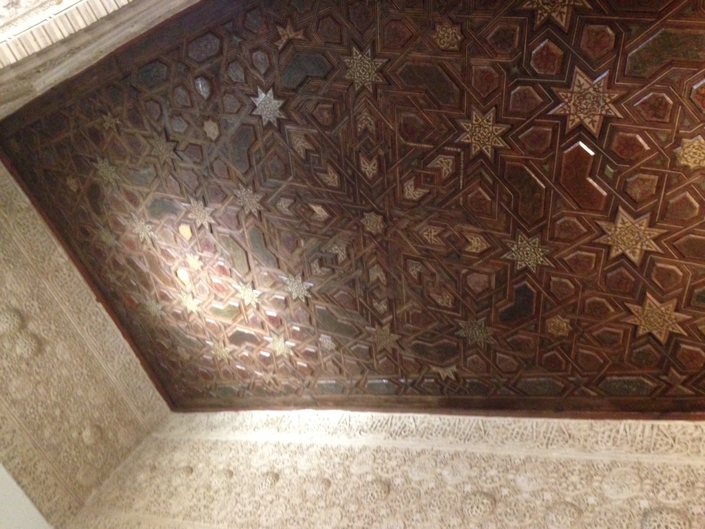
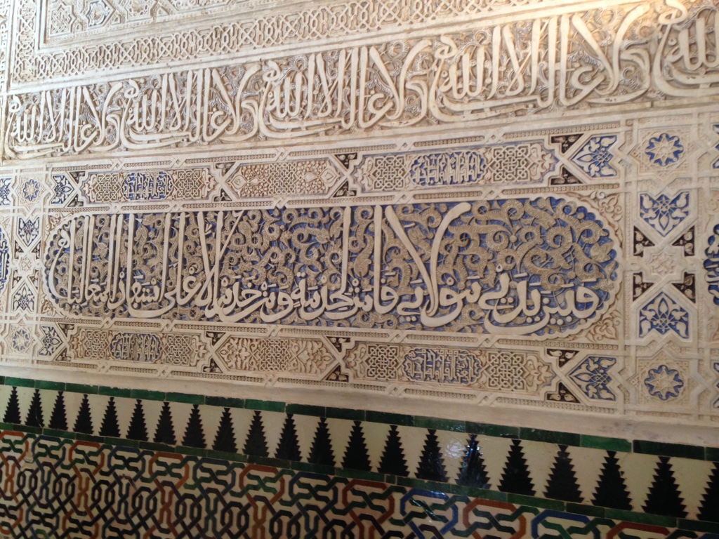
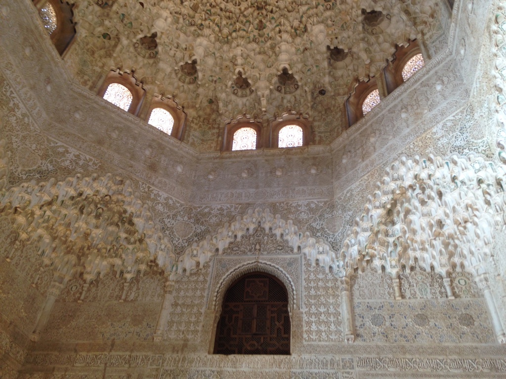
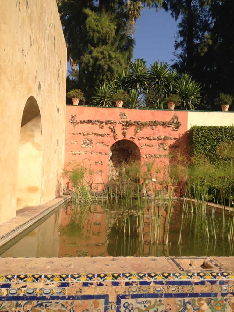
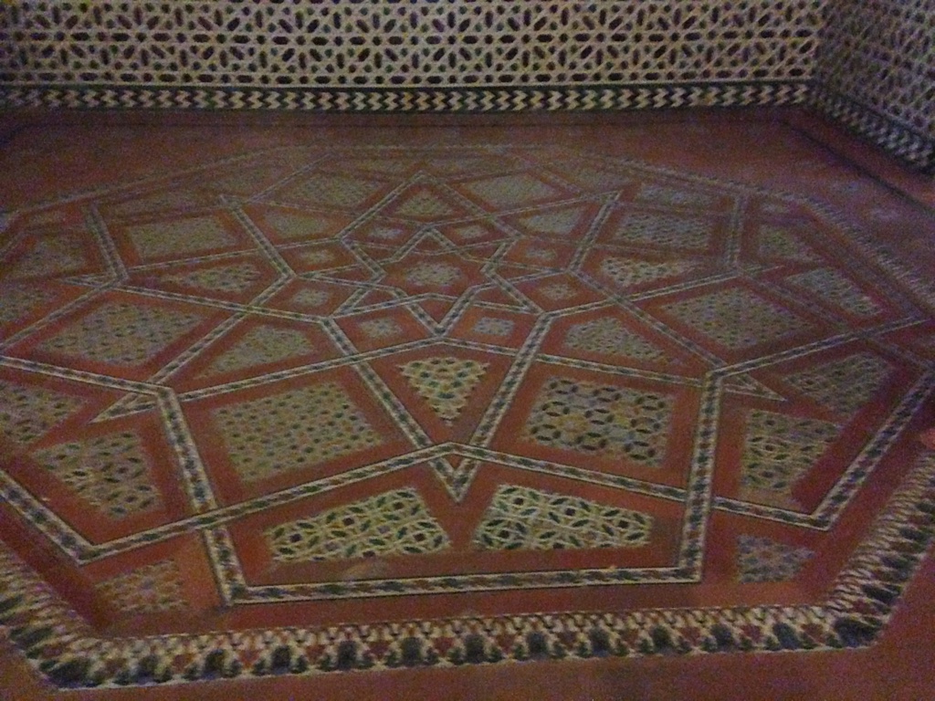
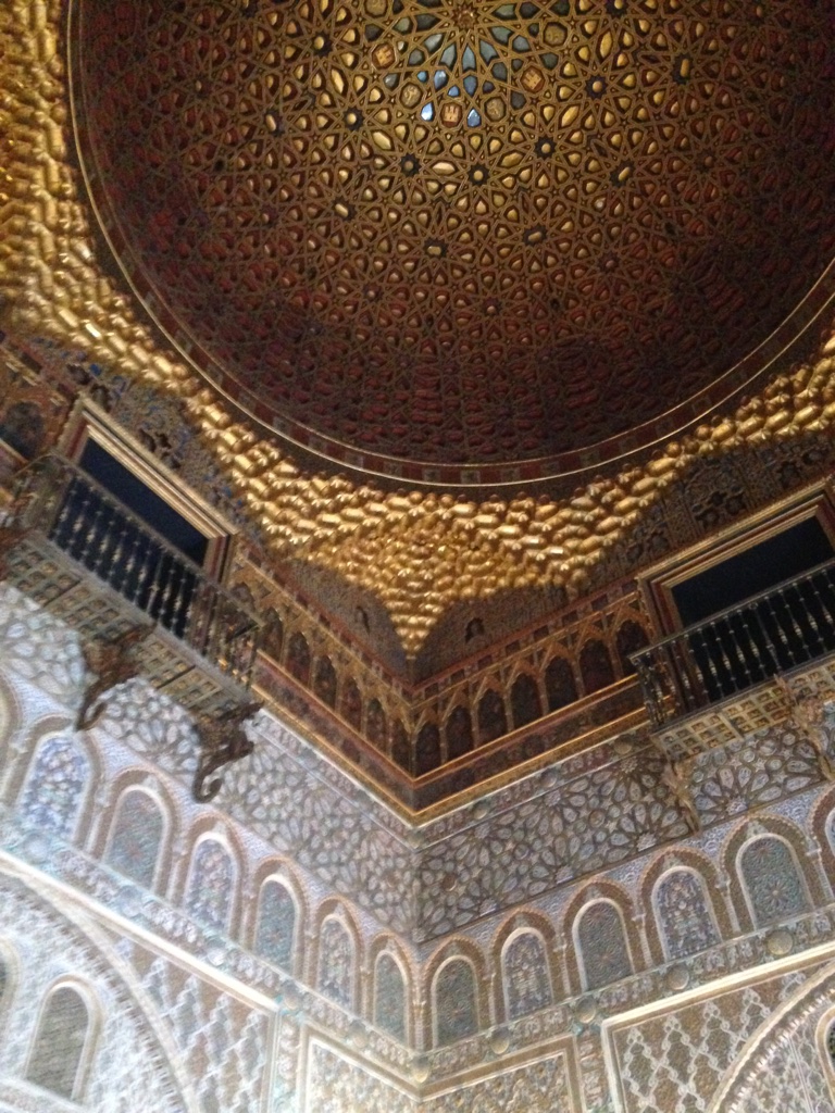
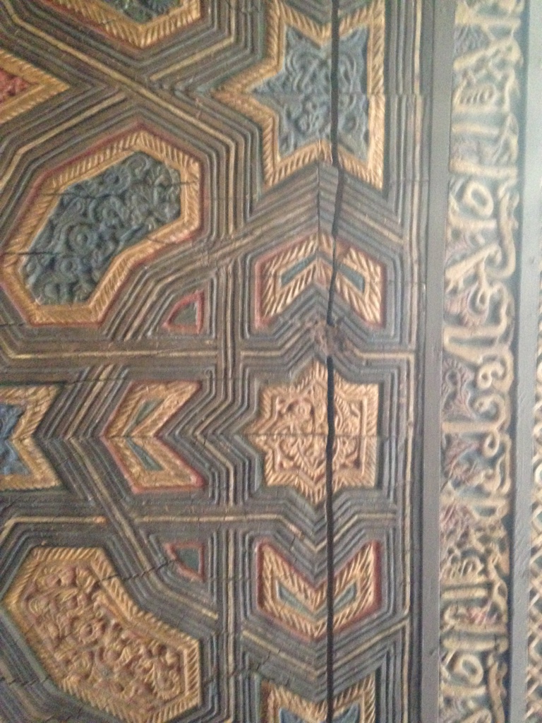
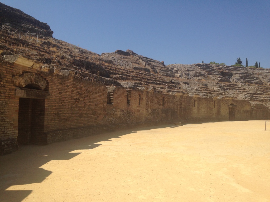
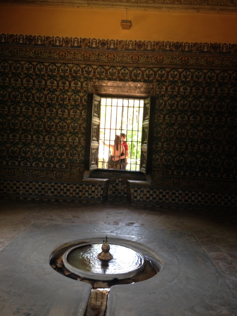
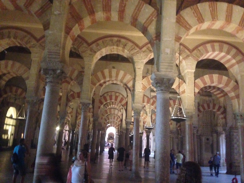
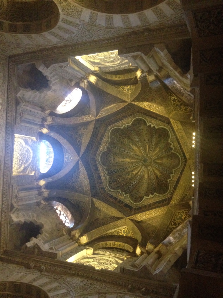
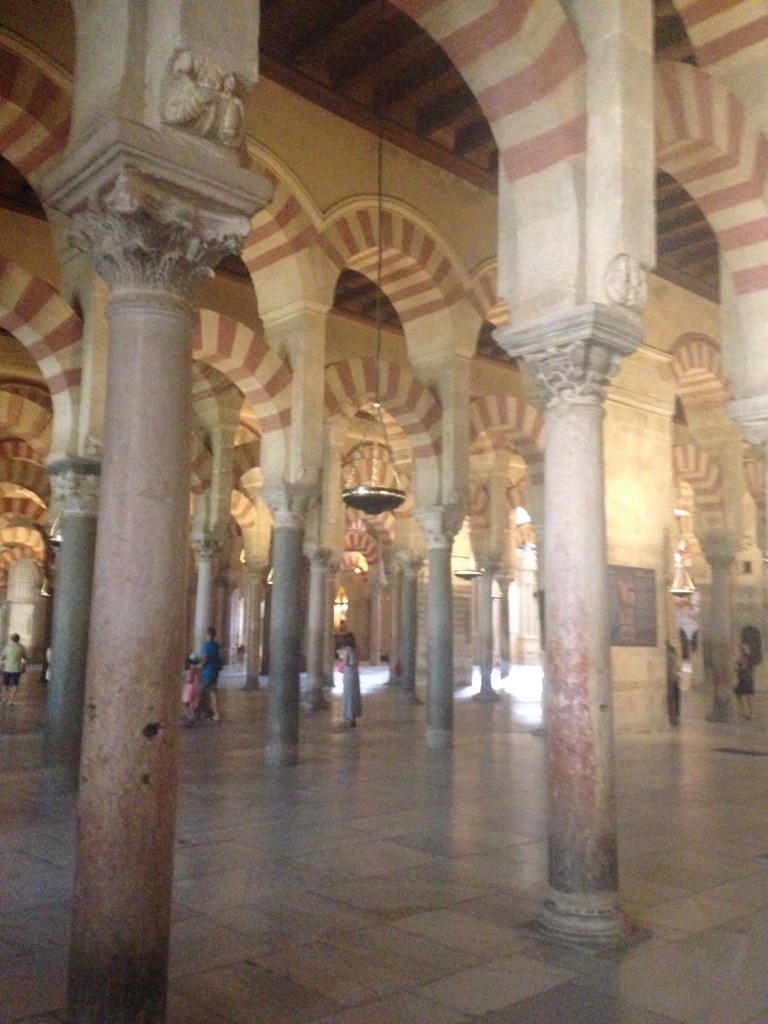
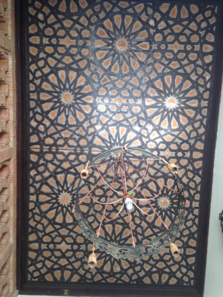
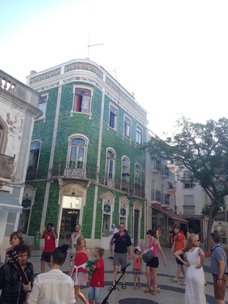
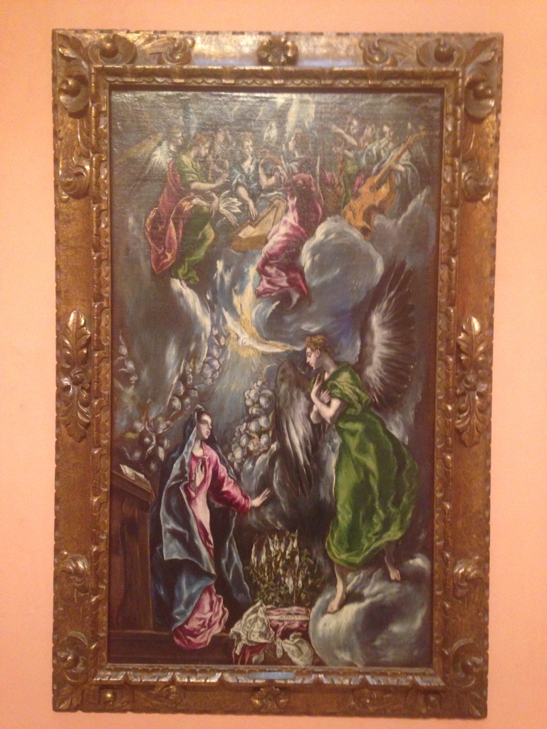
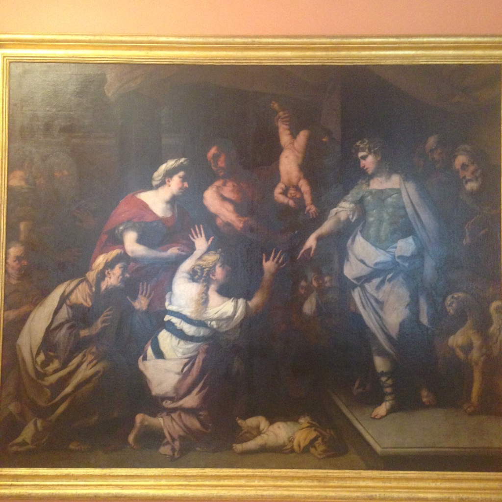
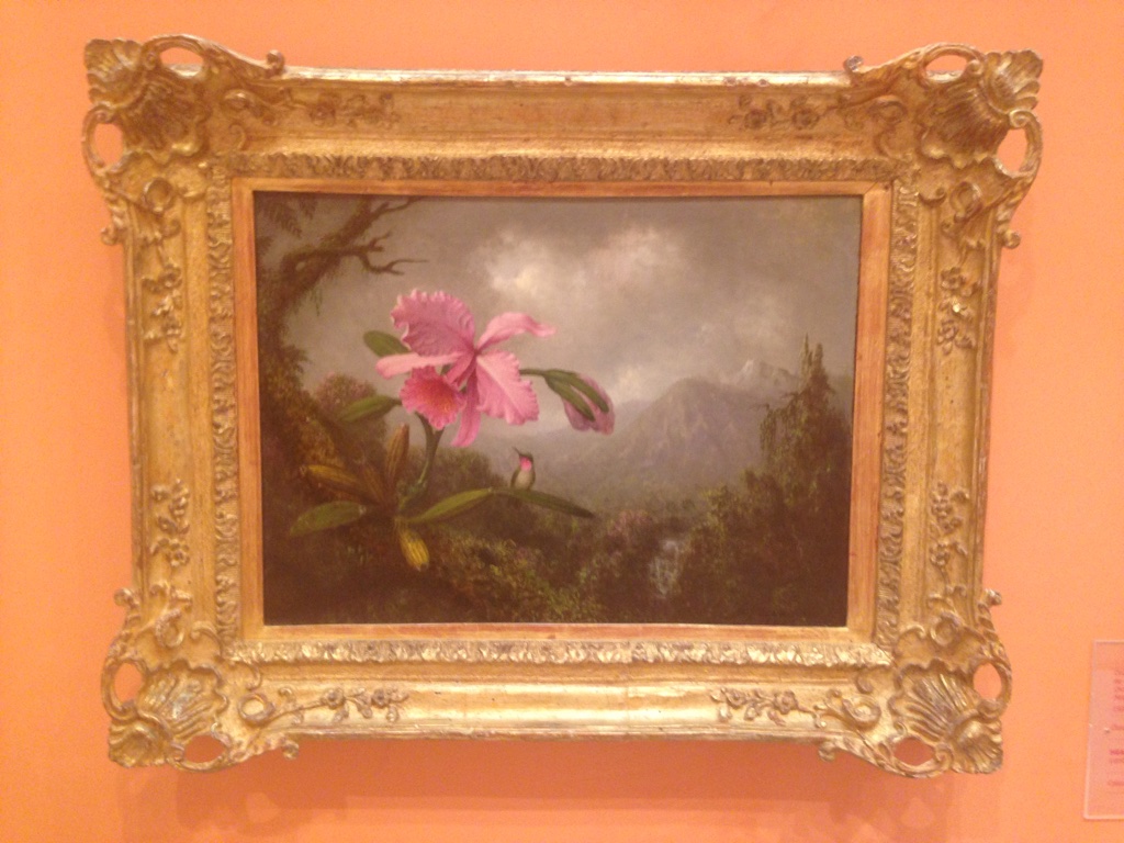
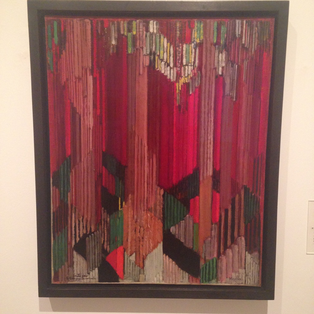
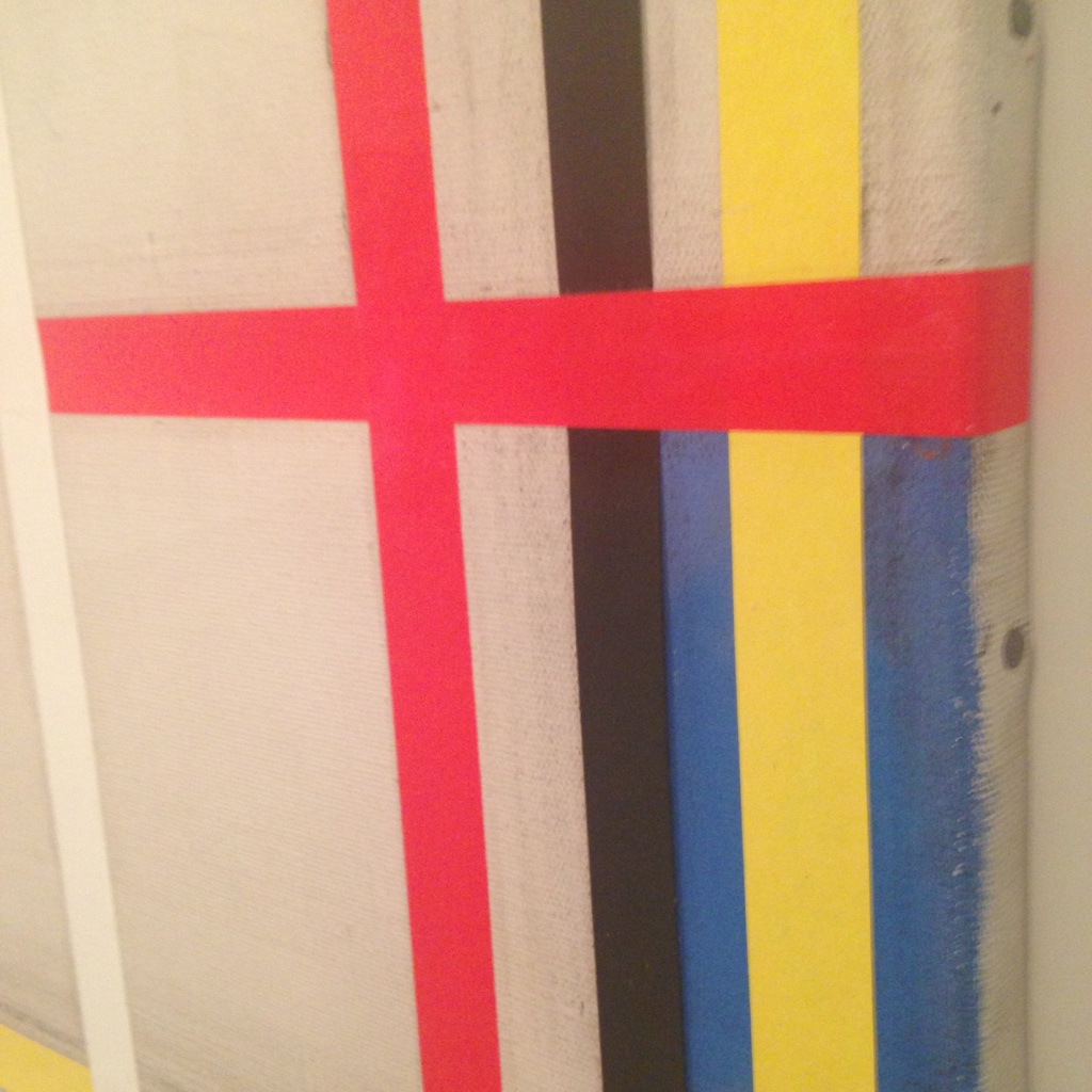
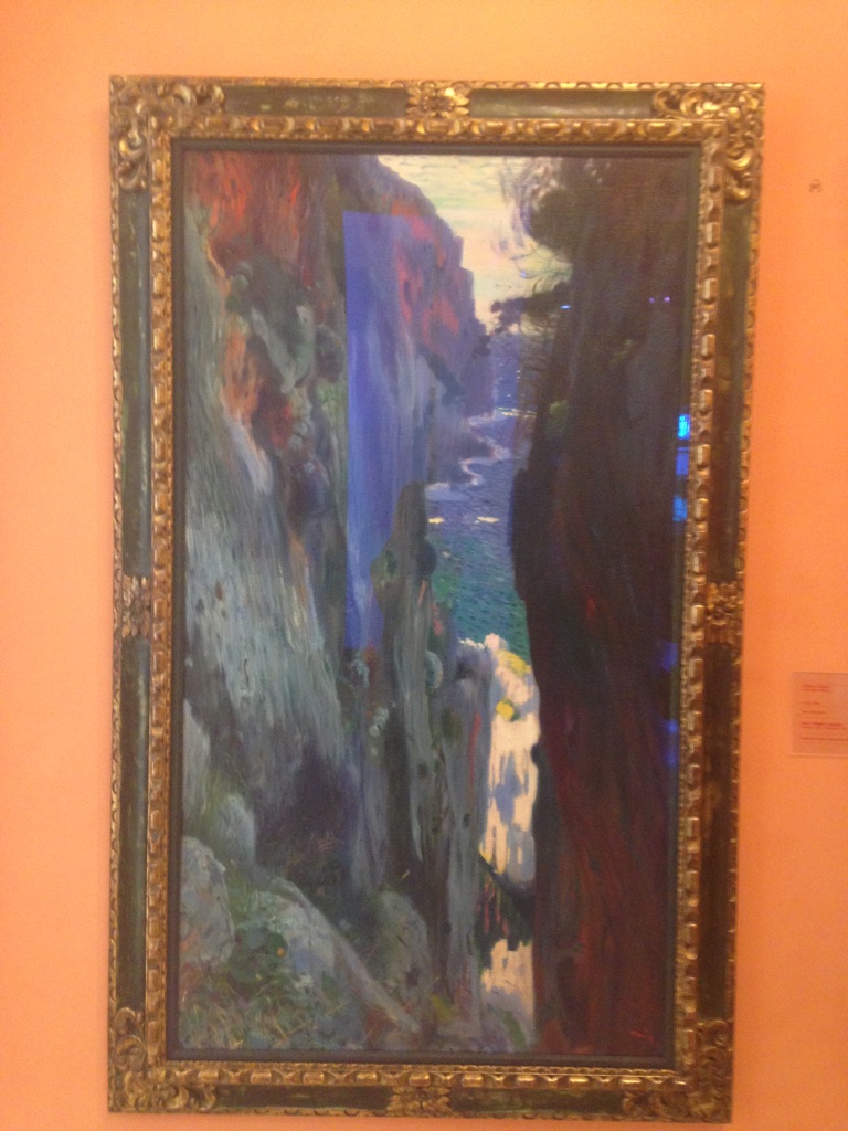
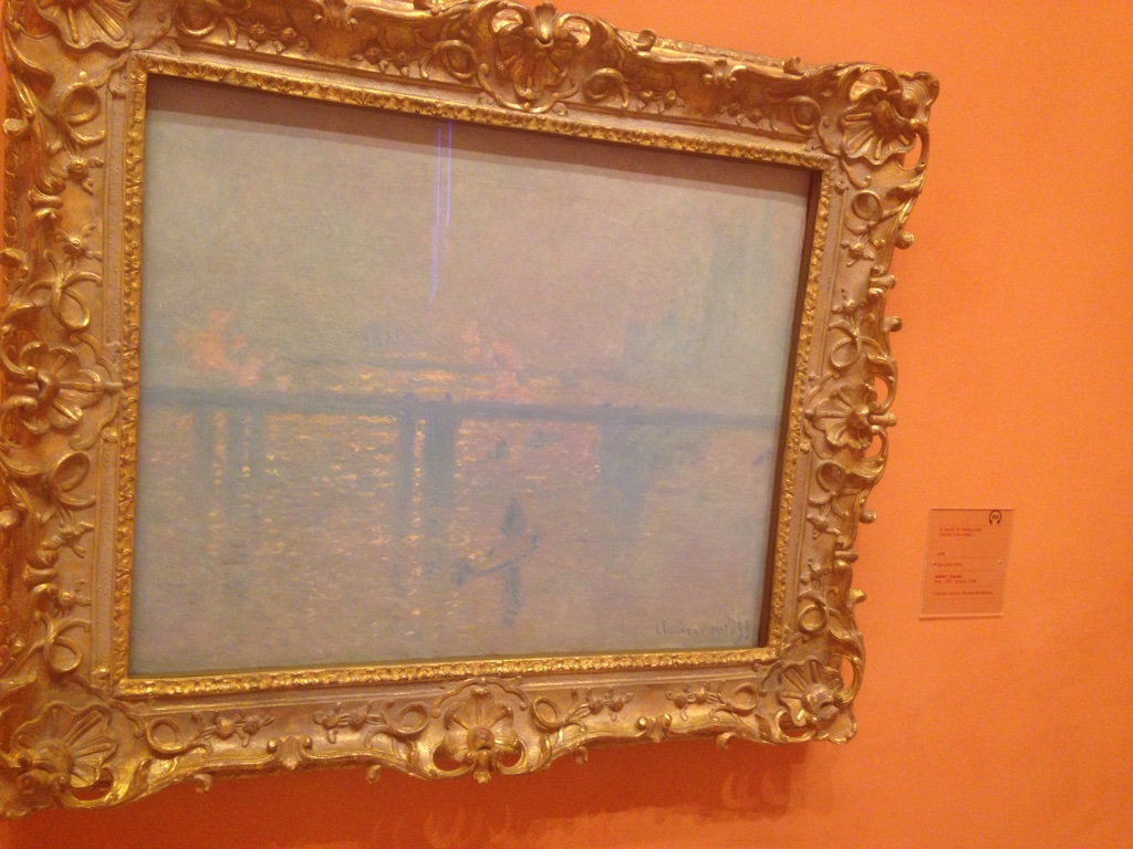
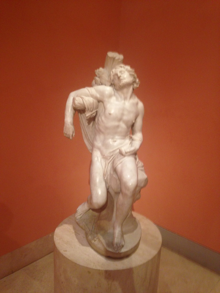
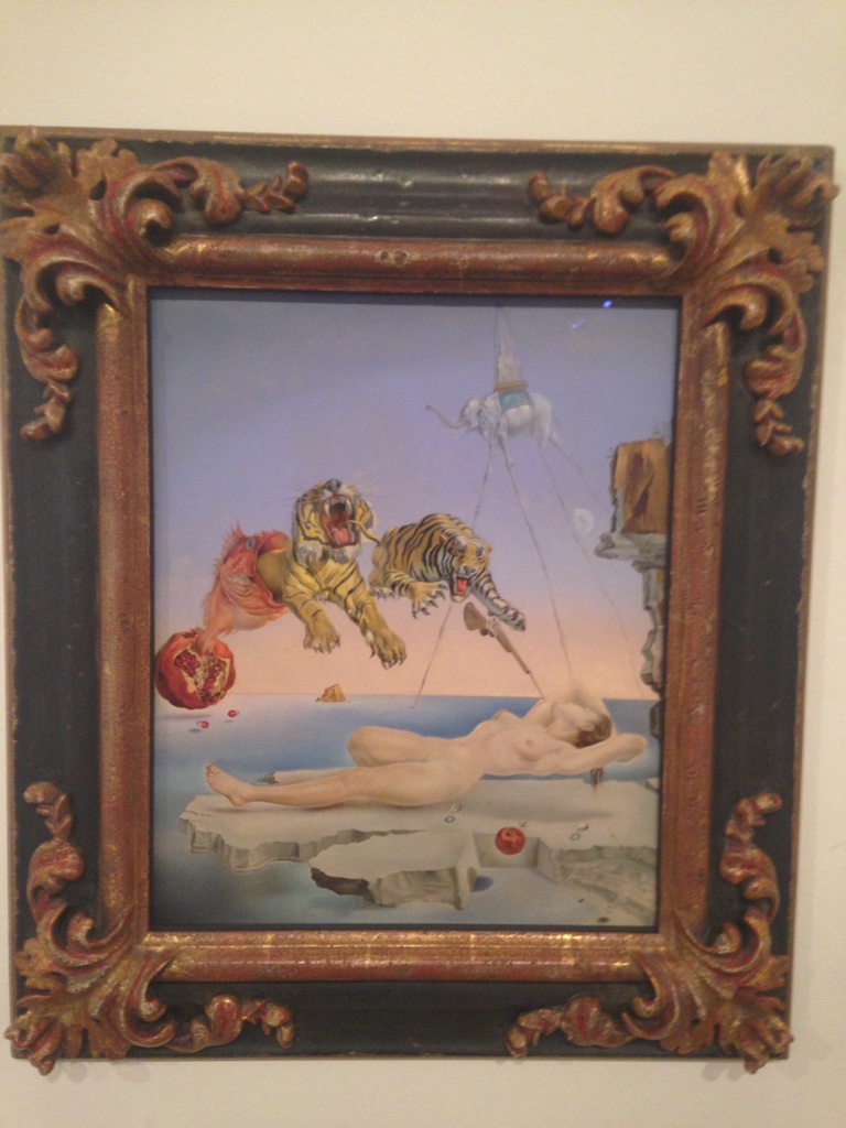
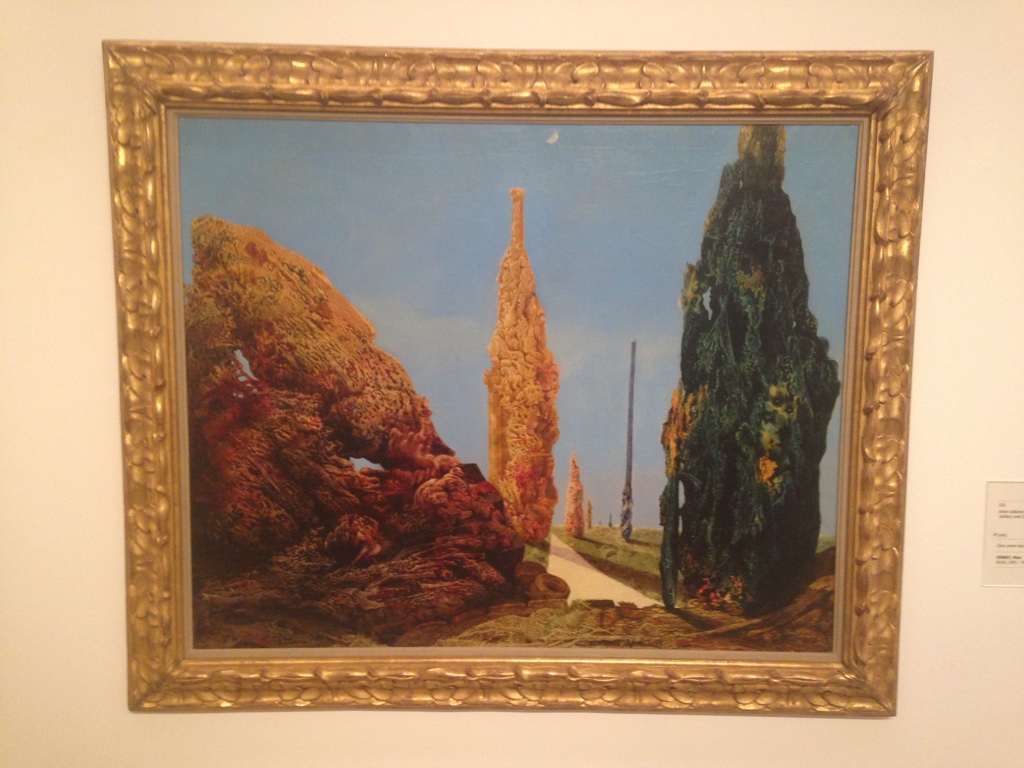
We started in Portugal and finished up our trip in Spain. We saw Fado shows in Portugal, learned about the cork trees and saw how they are used in art and products there, went to many museums, and took in the culture, seafood, and met beautiful and compassionate people who invited us into their homes.
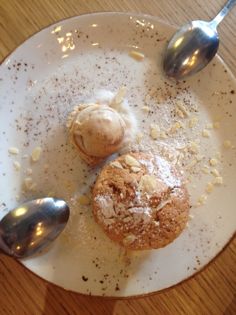
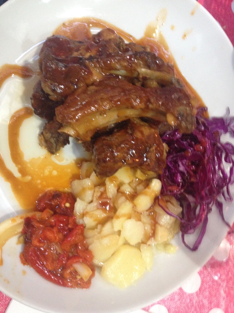
The food in Portugal is the best I have ever had! The culture reminded me a lot of Italian culture. The people are very into the enjoyment of food and taking pleasure from people who eat the food that they cook. Lots of seafood on the menu as it’s right next to the ocean.
One of the teachers that I was with wanted to find gooseneck barnacles which is a delicacy. Imagine us trying to explain these things to the locals! Finally someone who knew a guy, who knew a guy called him up and he brought them right from his boat fresh for us to eat!
My last favorite spot was in Évora, Portugal and is called Capela dos Ossos, or Chapel of Bones. It was built by the Franciscan monks out of about 5,000 skeleton bodies. Inside the chapel is a poem (below) and on the archway going in it reads, “”We bones that are here await yours.” The tour guide pointed out that the chapel was controversial in its time (and still is today) because of it is made out of the bones of both the rich and the poor. It sends a message that no matter how you live your life, all of what is left of our bodies will be our bones.
| Aonde vais, caminhante, acelerado? Pára…não prossigas mais avante; Negócio, não tens mais importante, Do que este, à tua vista apresentado. Recorda quantos desta vida têm passado, Reflecte em que terás fim semelhante, Que para meditar causa é bastante Terem todos mais nisto parado. Pondera, que influido d’essa sorte, Entre negociações do mundo tantas, Tão pouco consideras na morte; Porém, se os olhos aqui levantas, Pára…porque em negócio deste porte, Quanto mais tu parares, mais adiantas. | Where are you going in such a hurry, traveler? Pause…do not advance your travel. You have no greater concern than this one: That which is now before your eyes. Recall how many have passed from this world, Reflect on your similar end. There is good reason to do so; If only all did the same. Ponder, you so influenced by fate, Among the many concerns of the world, So little do you reflect on death. If by chance you glance at this place, Stop … for the sake of your journey, The longer you pause, the further on your journey you will be. |
| —Padre António da Ascenção | —Padre António da Ascenção, translated by Father Carlos A. Martins |
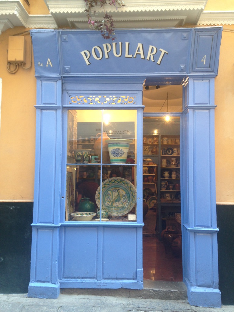
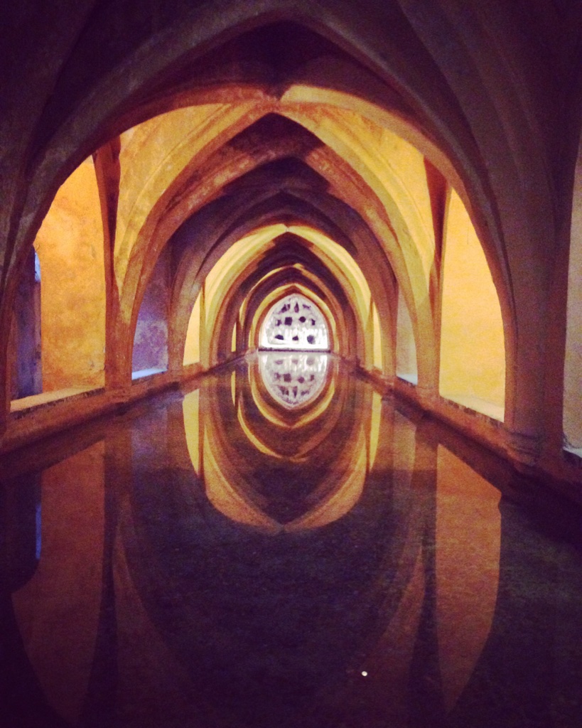
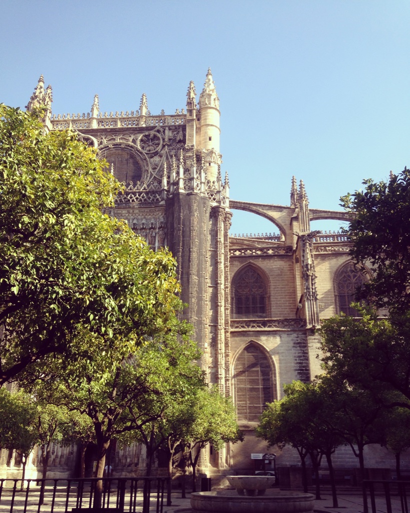
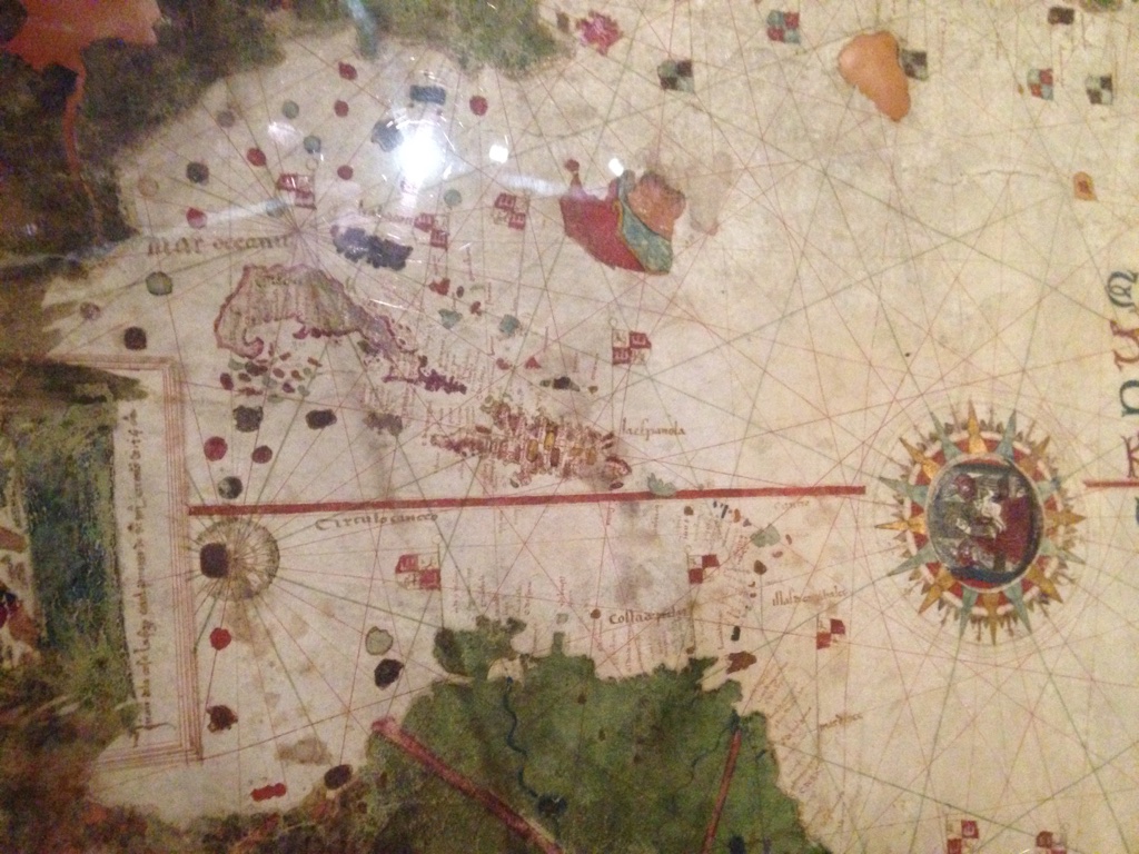
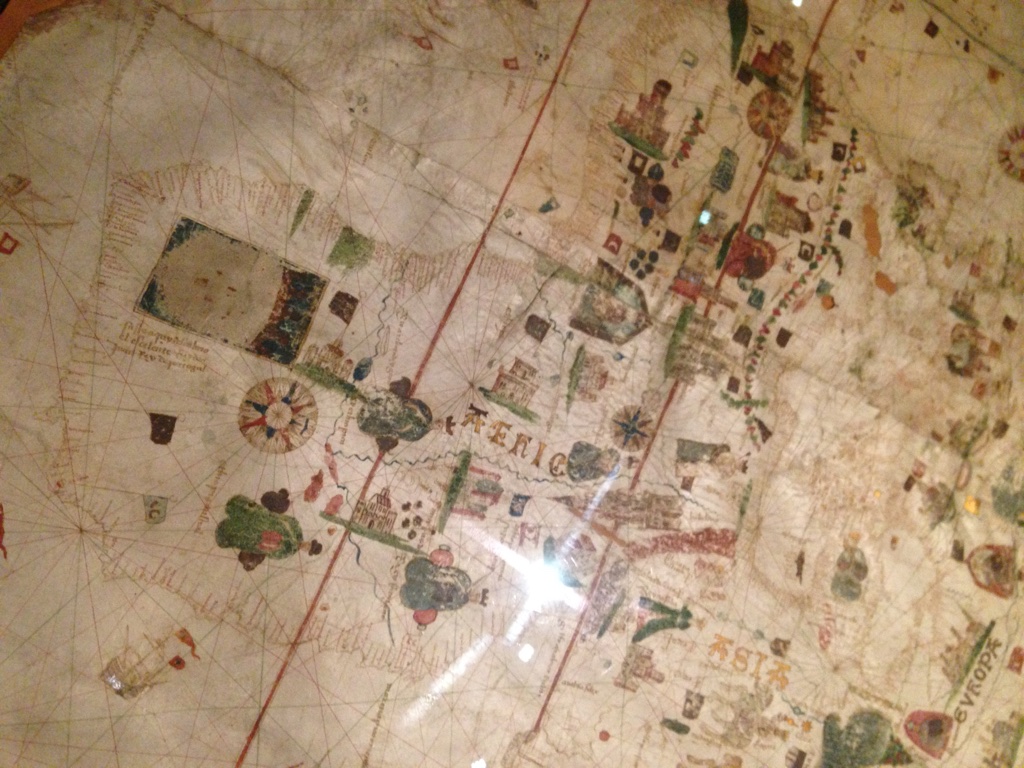
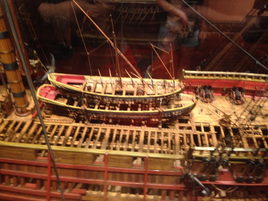
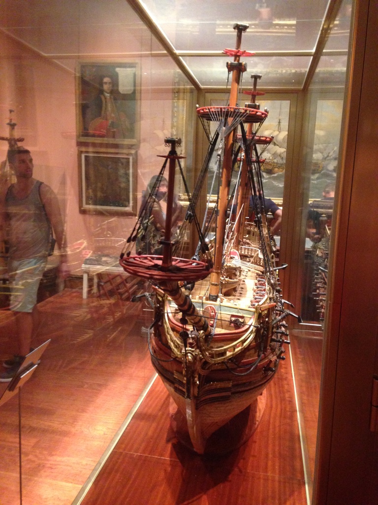
In Spain, we went to a flamenco show, shopped, ate delicious food, and of course also went to more art museums. We also visited the naval museum of Madrid and saw the original map that Juan de la Cosa drew while he traveled to the Americas for the first time around the year 1500.
Did you know that this is the first map that every documented the Americas on paper (even before America was given that name “America” by the Spanish in 1507)?
It is a very large map and the Americas are very distorted because they had not been traveled around yet. The map shows a pretty accurate view of Africa and Eurasia. The pictographs, color, and intricate designs on it were my favorite touches! It is speculated to have been made for the Spanish Catholic monarchs Isabella and Ferdinand. After the year 2025 or 2026, you will no longer be able to see the original map because it is deteriorating at a rapid pace.


Subscribe
Enter your email below to receive updates.
